
Self-hosted · Real-time geospatial platform

Configure pollers. Monitor on maps. Integrate your GIS.

A powerful, self-hosted real-time geospatial platform, a secure alternative to ArcGIS GeoEvent Server and Velocity, built to run entirely on infrastructure you control. Powered by Geospatial Cloud Serv.

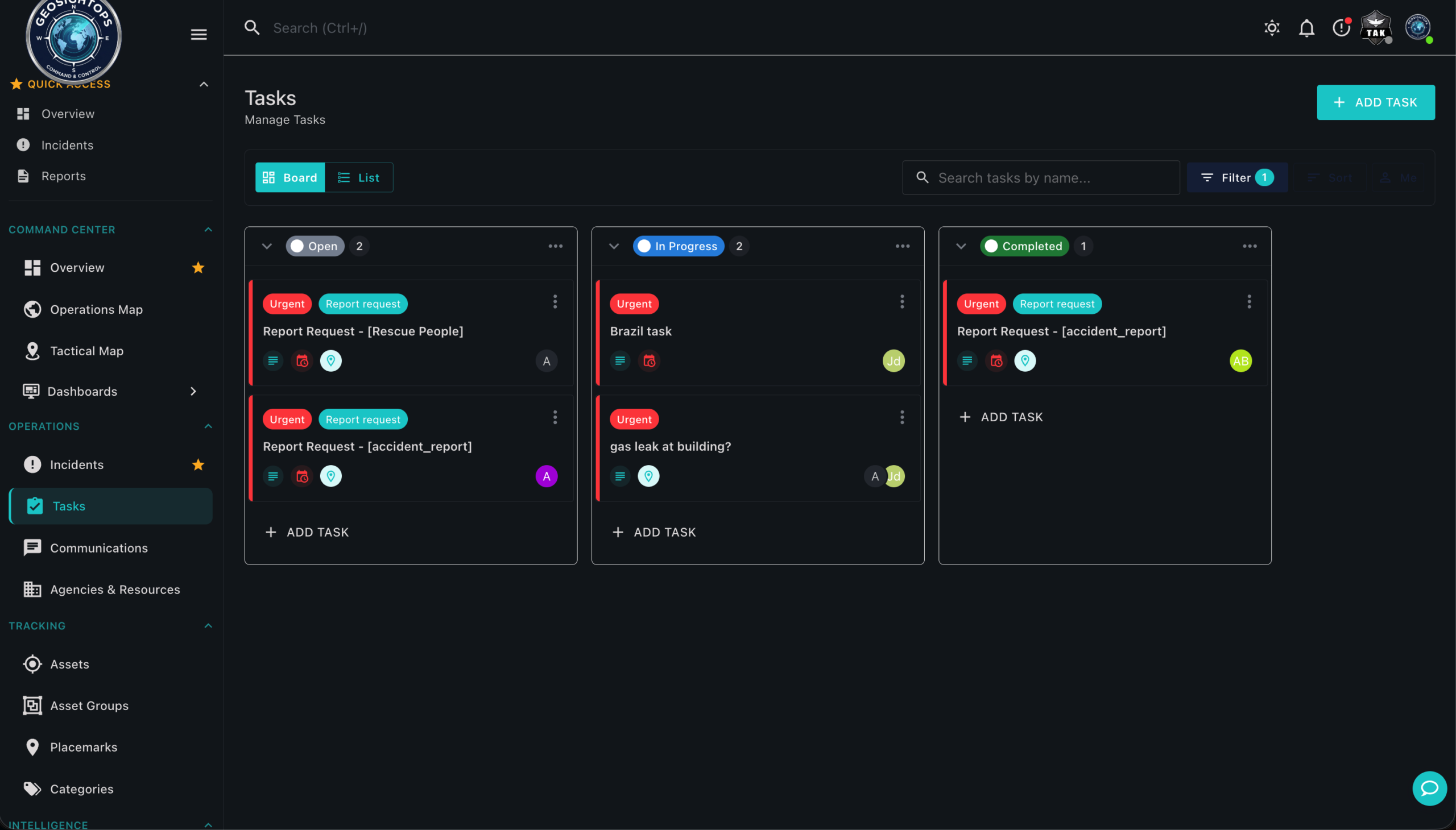
  1. Configure data pollers Event & movement feeds · field mapping · notifications · geofences
  2. Monitor maps & dashboards Common operating picture · situational awareness · live ops
  3. Integrate existing GIS ArcGIS Online · your portal · host & serve mapping services
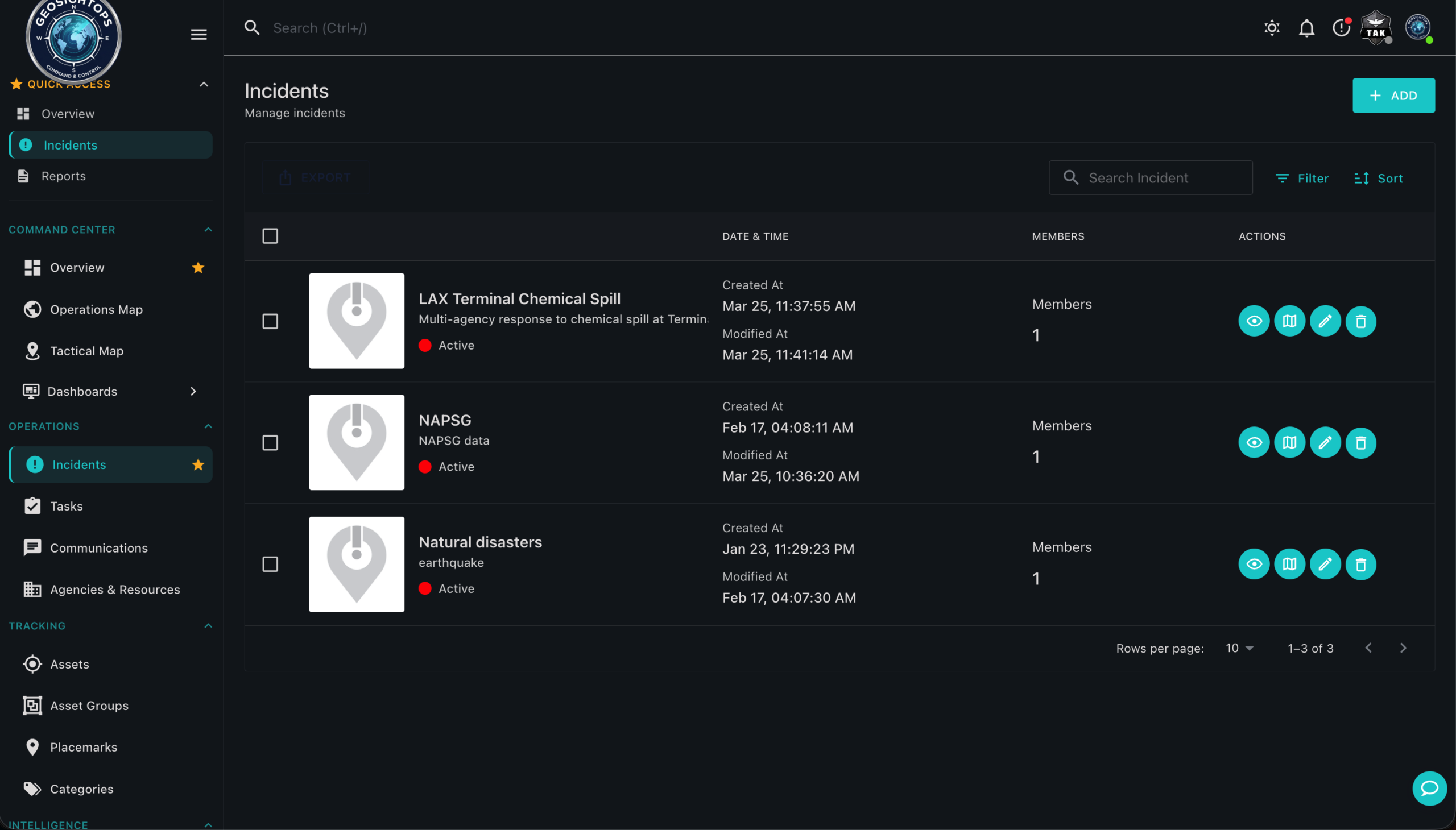
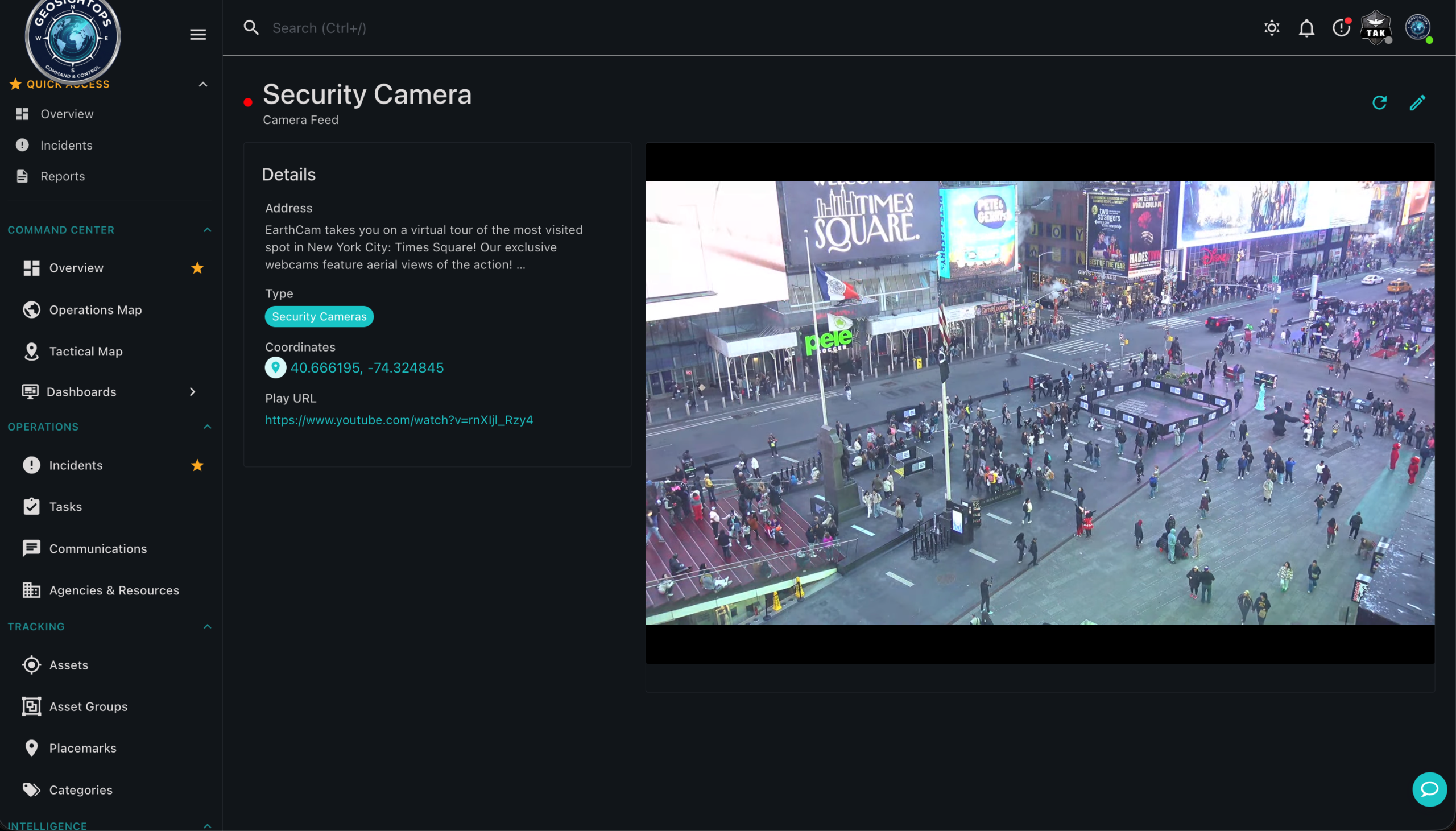
Map context menu, geofences, alerts, and camera feeds
Geofences & alerts
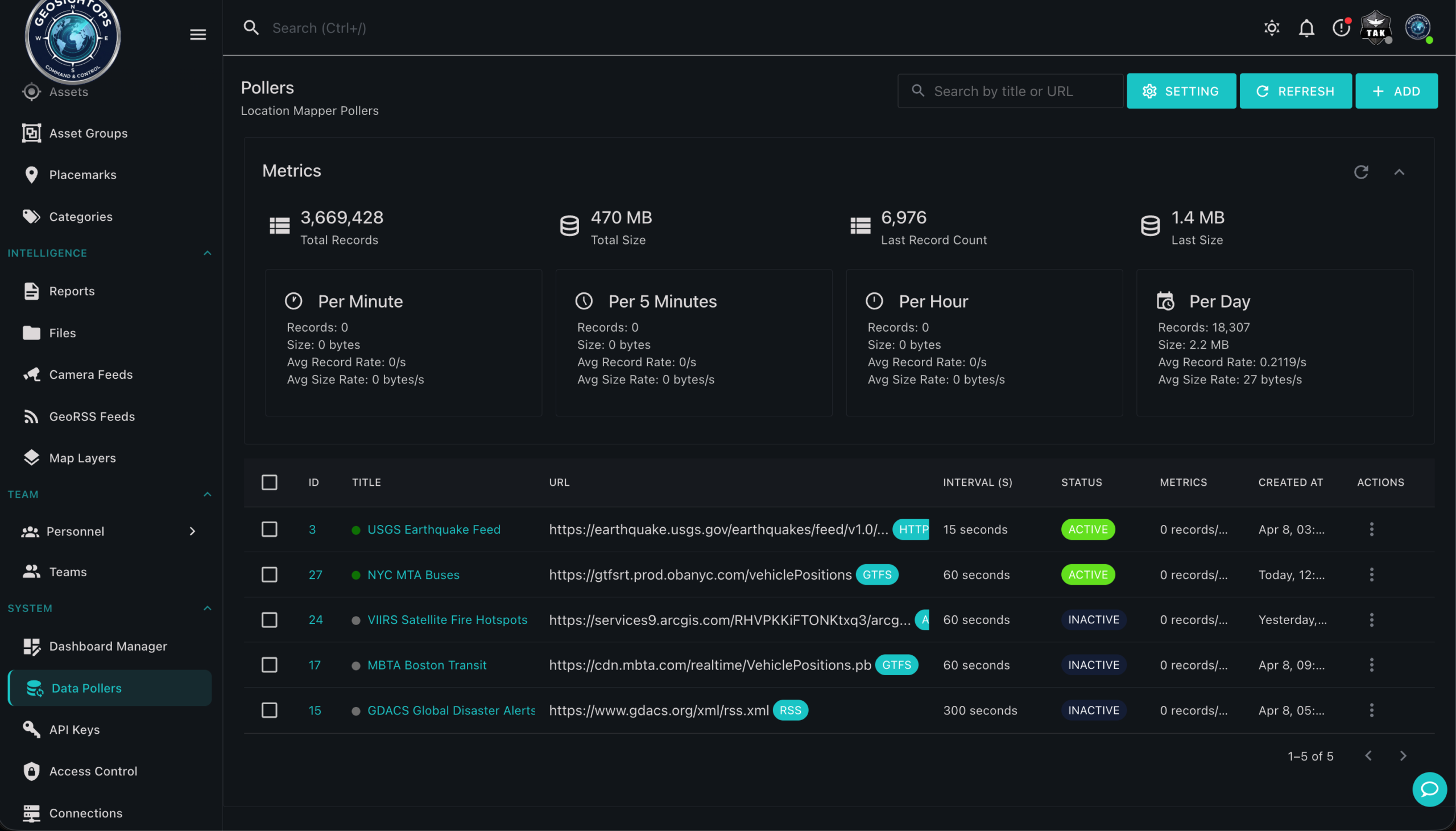
GeoInsights Data Pollers, GTFS, HTTP, RSS feeds with live metrics
Data pollers
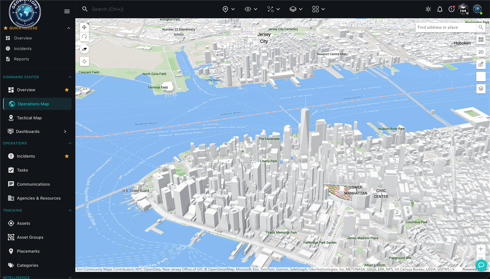
Layer swipe compare on Operations Map
Operations map
Location Mapper statistics and platform metrics
Platform statistics
Browse ArcGIS Living Atlas layers on Operations Map
ArcGIS Online layers
Geofences & alerts
Data pollers
Operations map
Platform statistics
ArcGIS Online layers
Map context menu, geofences, alerts, and camera feeds
Geofences & alerts
GeoInsights Data Pollers, GTFS, HTTP, RSS feeds with live metrics
Data pollers
Layer swipe compare on Operations Map
Operations map
Location Mapper statistics and platform metrics
Platform statistics
Browse ArcGIS Living Atlas layers on Operations Map
ArcGIS Online layers
Geofences & alerts
Data pollers
Operations map
Platform statistics
ArcGIS Online layers

The GeoInsights Advantage

What makes GeoInsights different from every other geospatial platform: complete ownership, zero restrictions, and infinite room to grow.

Self-Hosted

Complete Data Sovereignty

Deploy on your own infrastructure with full control over security, compliance, and data residency. Your geospatial data stays on your servers, always encrypted, always yours.

Self-Hosted

  • Run on bare metal, Docker, or Kubernetes
  • Air-gapped & SCIF-compatible environments
  • Zero external dependencies for core ops
  • Full control over updates & maintenance
  • Data never leaves your infrastructure
  • Enterprise-grade encryption at rest & in transit

No Vendor Lock-in

Unparalleled Freedom

Open standards and flexible architecture. Easily migrate, integrate, or switch components anytime. No proprietary formats, no restrictive contracts holding you back.

No Vendor Lock-in

  • Open-standard APIs (REST, WebSocket, MQTT)
  • Export your data in any format, anytime
  • No proprietary file formats or protocols
  • Swap databases, queues, or storage layers freely
  • No long-term contracts required
  • Compatible with existing GIS & IoT ecosystems

Unlimited Scale

Grow Without Limits

Elastic architecture that handles massive datasets and user bases with zero artificial caps. No per-user fees, no feature gating. Scale as far as your mission demands.

Unlimited Scale

  • No per-user or per-sensor licensing fees
  • Process 12,540+ events per second
  • Horizontal scaling across clusters
  • Handle millions of concurrent connections
  • No feature gating or tier restrictions
  • Future-proof your geospatial operations

Platform workflow

Configure · Monitor · Integrate

GeoInsights follows the operational path your teams already run: connect and configure feeds, monitor live data on maps and dashboards, then bring in GIS from the portals you trust, self-hosted, with geospatial services from Geospatial Cloud Serv.

  1. Configure data pollers

    Initial setup

    Connect to real-time event and movement data. Every feed type we support (GTFS-RT, MQTT, HTTP, RSS, ArcGIS streams, sensors, and more). The setup process covers field mapping, notifications, and the geofences you want on that feed before it goes live.

    • Pick a connector → sample data → map fields → set alerts & geofences
    • 40+ supported feed and poller types on one platform
    • No custom ETL. Configuration inside GeoInsights

    See poller walkthrough →

    Data pollers configuration with live feed metrics
  2. Monitor maps & dashboards

    Common operating picture · situational awareness

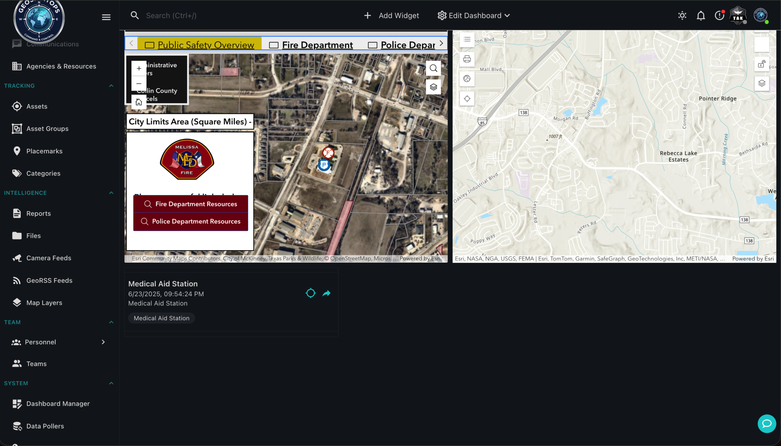
    Monitor real-time event and movement data on the Operations Map and custom dashboards. Your common operating picture with live tracks, layers, and operational metrics in one view.

    • Operations Map with live poller layers updating continuously
    • Custom dashboards with charts, KPIs, and map widgets together
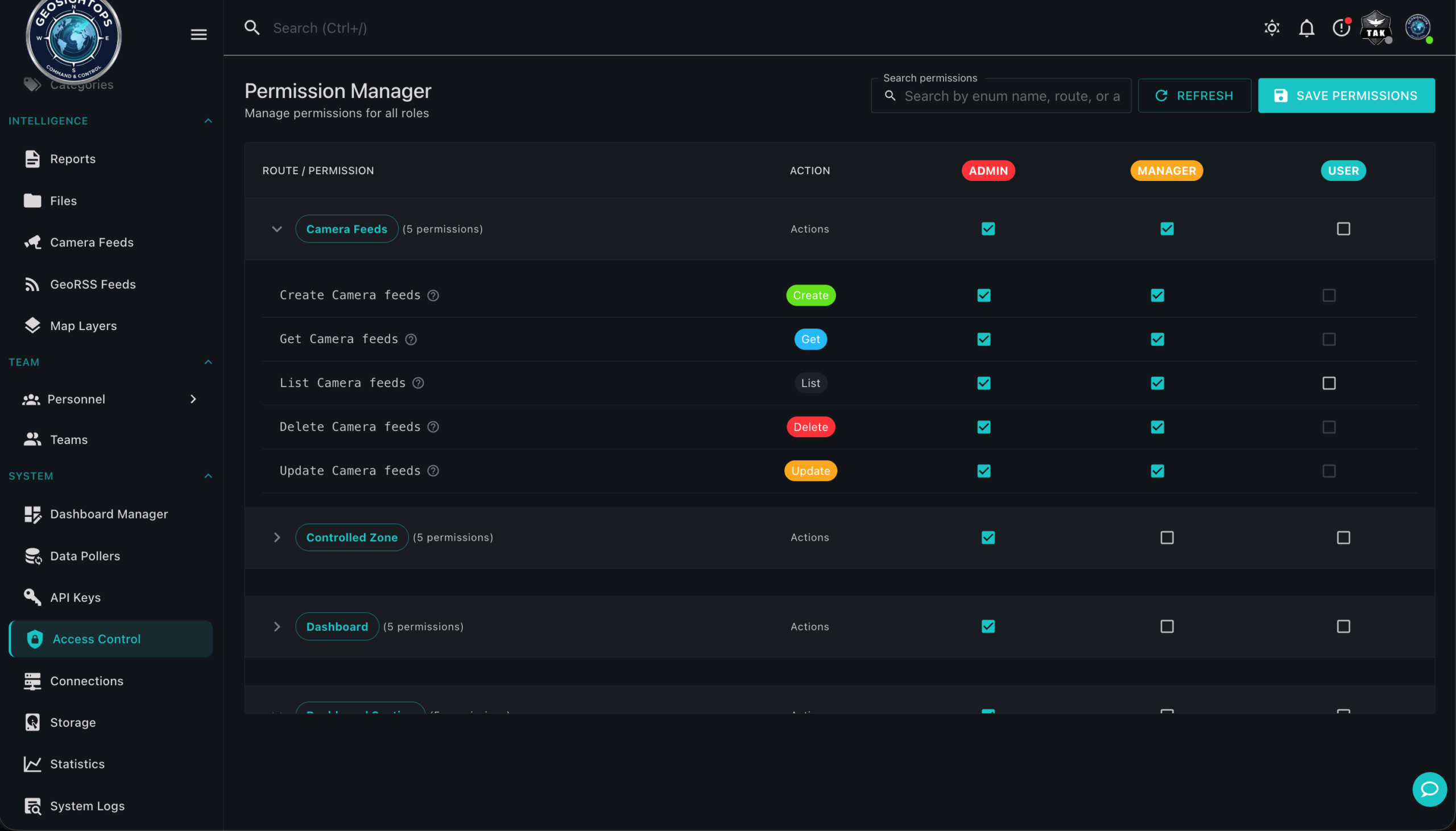
    • Share views across teams; role-based access when you deploy

    Explore monitoring →

    Operations map with layer swipe and live feeds
  3. Integrate existing GIS

    Enterprise replacement · mapping services

    Connect to existing GIS data resources, published mapping data from an existing portal, ArcGIS Online, or data loaded into this system. You can also publish with GeoInsights: create a map, host data, and serve it as a mapping service, a self-hosted replacement for the enterprise GIS environment, with Geospatial Cloud Serv powering the geospatial stack behind the scenes.

    • Consume layers from ArcGIS Online & enterprise portals
    • Load and publish your own geospatial data
    • Fuse authoritative GIS with live poller layers on one map

    See GIS integration demo →

    Browse ArcGIS layers on the operations map

Ready to Explore GeoInsights?

Self-hosted on your infrastructure. Request access or open the live app.