Map coordination
Range Rings & GRG
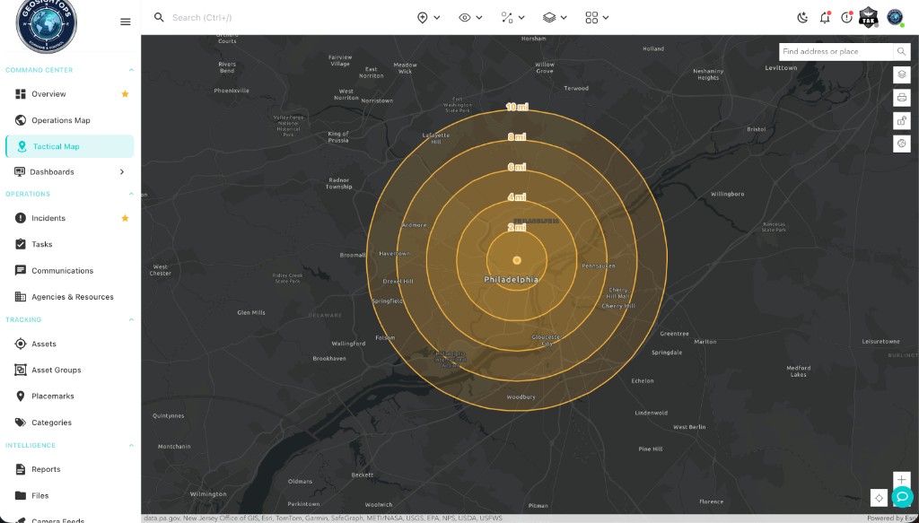
Drop concentric range rings from any asset or map click, then overlay a georeferenced Gridded Reference Graphic so every team shares the same grid cells, labels, and distances on the Operations Map.
Walkthrough Deploy range rings and a labeled GRG on the Operations Map, then coordinate with MIL-STD-2525B and NAPSG marker symbology.
- 2 / 4 / 6 / 8 / 10 mi rings from any anchor · GRG with row/column labels
- Configure cell size, style, and extent on the map
- MIL-STD-2525B & NAPSG markers on the same canvas