

Stage 1 · Configure data pollers
GTFS Real-Time Pollers
Connect live event and movement data: set the GTFS-RT endpoint, polling interval, and field mapping, then define geofences and notifications before data flows to your operations map.
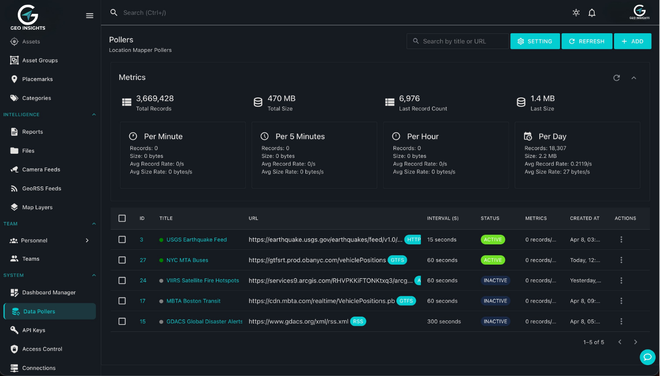
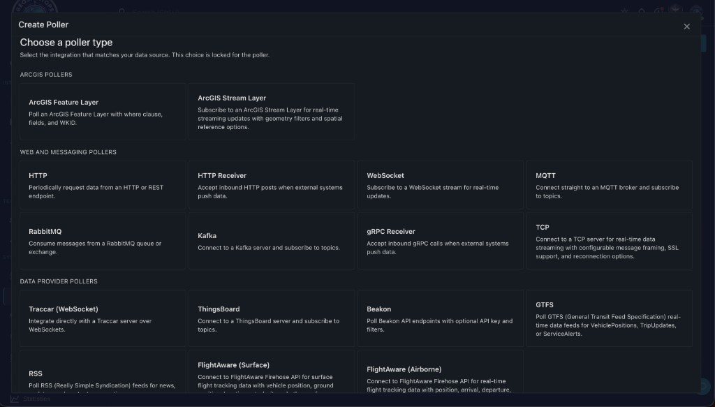
Walkthrough Creating a GTFS poller for NYC MTA bus vehicle positions — sample collection, field mapping, and publish to your operational map.
What this demo shows
GeoInsights data pollers connect to external real-time feeds on a schedule you control. This walkthrough configures a GTFS-RT VehiclePositions poller for NYC MTA Buses, including authentication headers and automatic protobuf detection.
- Name the poller and set the GTFS feed URL (e.g. MTA vehiclePositions endpoint)
- Choose polling interval (default 60 seconds) and feed type: VehiclePositions, TripUpdates, or ServiceAlerts
- Select data format — Auto-detect or Protocol Buffers (Protobuf) for GTFS-RT
- Add custom HTTP headers for secured agency feeds
- Collect sample payloads, map fields to your geospatial schema, review and activate
- Example feed
- gtfsrt.prod.obanyc.com/vehiclePositions
- Poll interval
- 60 seconds (configurable)
- Format
- GTFS-RT Protobuf
- Feed types
- VehiclePositions · TripUpdates · ServiceAlerts
Why GTFS pollers matter
Public transit agencies publish GTFS-RT streams for buses, rail, and ferries. GeoInsights turns those feeds into live map layers and alert-ready events — alongside movement data, MQTT sensors, and GIS services in one self-hosted stack.
- Monitor poller health — records, size, and per-minute throughput before data hits your map
- No ArcGIS GeoEvent Server required for scheduled GTFS ingestion
- Field mapping UI — lat/lon, bearing, route ID, trip ID without code
- Combine transit layers with geofencing and threshold alerts
- Scale polling across many agencies with Kubernetes